It’s taken less than a month of near daily writing to get the memoir coming out of me again. It’s taken a while, to prime the pump, as they say, but it feels good.
While writing Friday’s daily installment, I selected a photo of Crater Lake which prompted me to write this corresponding story.
To gather memories, I turned on my external hard drive and opened up Lightroom on my computer. These are the modern day equivalents of the lightproof binders with sheets of slides and mini lightbox I wrote about last week.
I had split the drive into three segments, corresponding to roughly a third of the distance, The stops I chose Yakima, Washington and Klamath Falls, Oregon, had hotel chains I recognized in the pages of my CAA booklet. The drive from Klamath Falls to Lake Tahoe would be the longest (or so I thought). When I came off the road each night, I uploaded the photos into their own daily folder.
Beyond a cursory glance, I never went back and looked at the pictures from this trip. There are reasons for that, outside the scope of today’s story, but here we go, 11 years later.
Enjoy!

The Drive to Crater Lake
I knew from the moment I decided to go on the June workshop at Lake Tahoe I’d be driving. I love a solo road trip, and without my dog Brandy to keep from overheating in the car, I could pop out whenever I wanted and take pictures.
One of my favorite drives in the world (so far) is south from Kelowna to Osoyoos, the small desert town that shares a border station with Oroville, Washington. The first time I drove 97 all the way south to the border was in 2004. The vistas and vineyards cemented my desire to move from Toronto into a decision. It was also a drive I made with every visitors, with obligatory stops at Burrowing Owl and Nk’mip wineries. On this day, June 5, 2009, I drove through without stopping. I had new things to see, and new places to go.
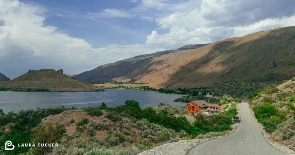
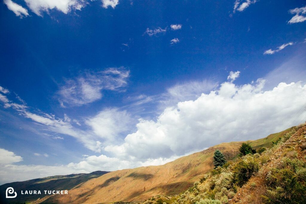
The landscape opens up in every way as you move from the Canadian Okanagan region with an “a” into the American Okanogan County with an “o.” Sage brush and Ponderosa pines dot the rolling hills.
In all my busy-ness, I hadn’t researched the drive beyond picking up CAA booklets, which I used to find the motel addresses I plugged into my 2007 CR-V’s navigation system.
Once I crossed the border, I was surprised at the relatively undeveloped terrain. I guess when you’ve got California at your southern border, there’s no need to congregate at the northernmost reach of the western interior.
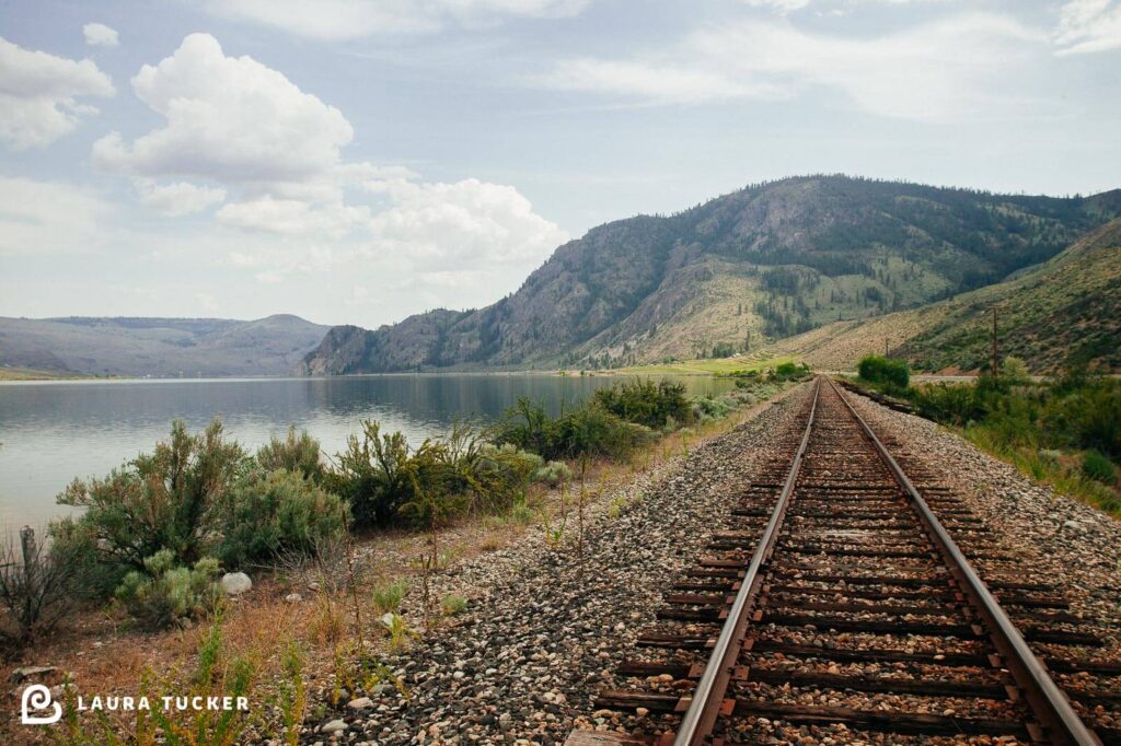
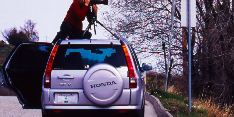
I drove along the meandering Okanogan River that winds to meet the much larger Columbia River. Balancing the need for speed with my impulse to capture, I popped out a handful of times to shoot what I hoped would be the best views. I felt uncomfortable just once, nose down on a set of railway tracks. The hairs stood up on the back of my neck. Everything looked fine, but the last thing I was looking for was animal, human, or mechanical threat, so I packed up and moved on – once I got the shot.
I checked in at my hotel in Yakima without incident, showered to get the dust off, and finished the day with dinner and my first – but not last – glass of Washington State red wine. I took a breath and felt the moment. Life was good.
“Klamath Falls, here I come” was my first thought when the alarm sounded early the next morning. I was hoping for water, but after OK Falls – where there are no falls – close to home, I knew better than to expect it.
The distance for the day was just over 350 miles. My Canadian mind estimates time and distance in kilometers. With a 1.6 multiplier at a hundred kilometers an hour, I was looking at a minimum of five and a half hours of driving. Factoring in photo time, it was going to be a full day.
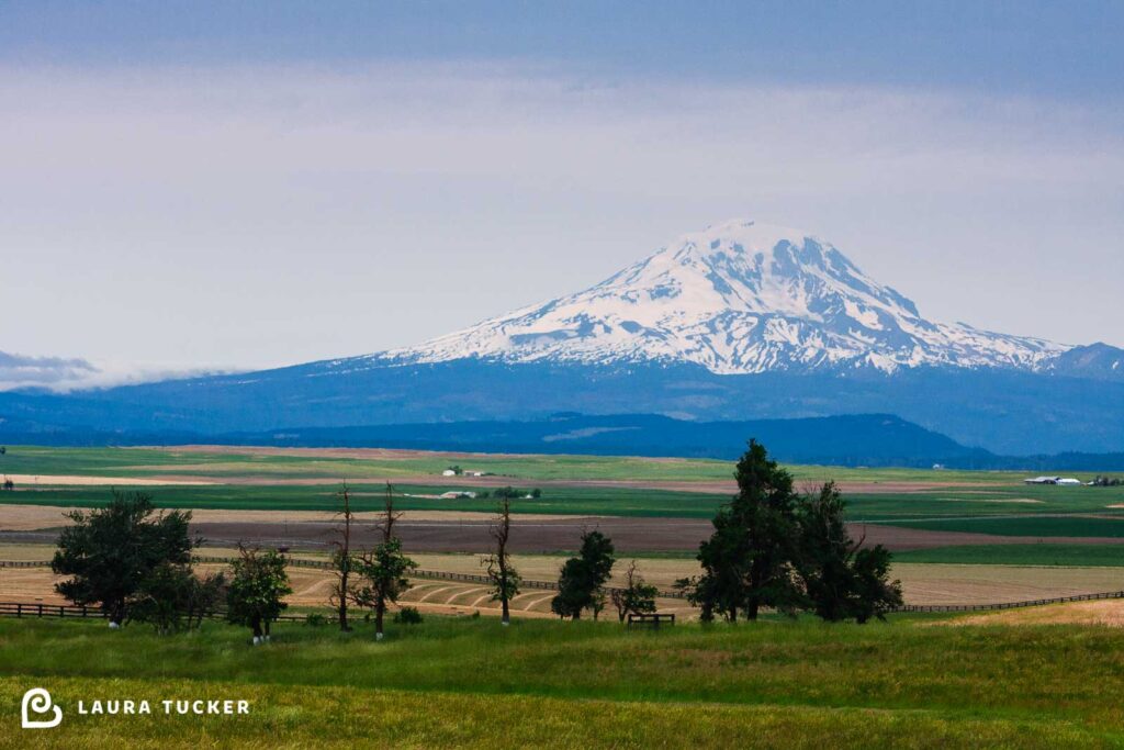
My first view of the Cascade Mountains took my breath away. Mount Rainier, previously obscured by hills, was revealed in its snow-capped glory. I had seen its northern counterpart, Mount Baker from afar on clear days in Vancouver. But I was unprepared for my first glimpse of a volcanic mountain in the middle of nowhere.
Mount Rainier was just the beginning. It seemed like the landscape was dotted with just as many of these snowy sentinels as it was windmills.
At one point, as I was zooming along pedal to metal, a sign appeared at the side of the road. It declared that this spot as the only place you could stop and see the entire range of Cascade volcano mountains. I could not resist this lofty claim.
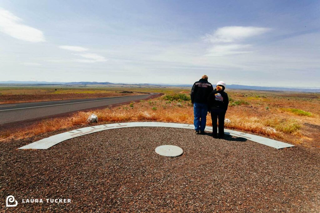
I pulled a last second right turn off the highway into a gravel parking lot. Just beyond it were a round metal disc and a large concrete semicircle embedded in the gravel. The semicircle was oriented westwards. Several a metal name plates and arrows were inlaid in the concrete. They each identified and pointed at a far off volcanic mountain. Mounts Hood, St Helens, Adams and Rainer stood to the north. Mount Jefferson, Three Finger Jack, Mount Washington, a trio named the Three Sisters and Broken Top were waiting to be discovered to the South.
A couple on a motorcycle pulled in to the parking lot and dismounted. I stepped back to let them explore and leaned against my car, breathing in to absorb the energy of the snow capped sentinels dotting this wide open space. It was 1 pm and I couldn’t wait to get into the mountains.
I thought I was seeing it all that day, as I drove through the afternoon. Mountains, rivers and hills. I left the Columbia River behind at The Dalles, and carried on south. I still had a ways to go before reaching Klamath Falls.
Part 2 – Dancing with Crater Lake continues here
Here’s a few of my reference shots for today’s writing:

